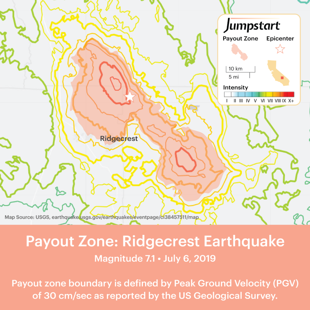
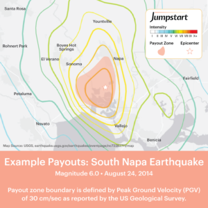
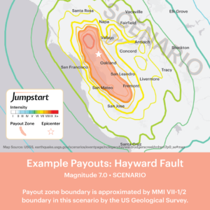
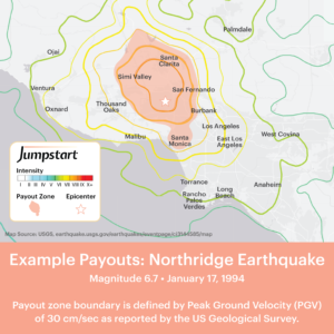
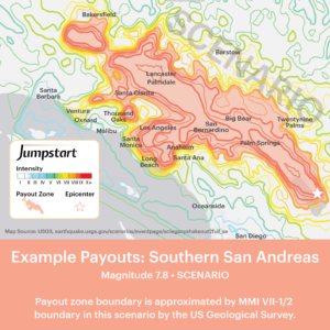
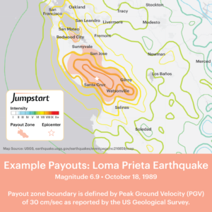
How does Jumpstart determine payment eligibility immediately after an earthquake occurs? To ensure fast, fair payments, we use data from the United States Geological Survey. The USGS is the US government agency responsible for measuring earthquakes and a leading authority on seismic activity around the world.
This data allows us to objectively identify areas where customers are highly likely to have extra costs as the result of a quake.
Example Earthquake Payout Maps
Payment eligibility is based on shaking intensity. Specifically, locations that are coded on the USGS shake map as experiencing “severe” shaking are eligible to receive payment. In terms of parametric data, this translates to peak ground velocity of 30 centimeters per second or more.
The basis of determining payment eligibility is the USGS data available 24 hours after the quake occurs.

